Iceland’s Laugavegur Trail is an epic 4-day hike through colorful rhyolite mountains, steaming hot springs, black sand deserts, and glaciers—a dramatic adventure across some of Iceland’s most surreal landscapes.
Have you ever wondered what it feels like to hike over a 34-mile-long trail that brings you to a wonderland of alpine mountains? Well, the Laugavegur Trail Hike is the same journey that sorts all your feelings.
The Laugavegur Trail Hike is a 34-mile (54.7 km) long hiking trail that takes you through varied landscapes of Iceland. You will explore colorful mountains, natural hot springs, glaciers and volcanic slopes.
“Laugavegur” means ‘Hot Springs Route.’ And, you will have plenty of time to rest and enjoy the beautiful hot springs during the hike.
The Laugavegur Trail is located in the southern highlands of Iceland. The hike begins through a beautiful Landmannalaugar Nature Reserve. You will traverse through the obsidian slopes of Hrafntinnusker and the ash field of Mælifellssandur.
Further on, the trail stretched through Þórsmörk, ‘The Valley of Thor.’ The trail offers you the views of the pristine glaciers of Tindfjallajökull, Eyjafjallajökull and Mýrdalsjökull.
Hikers can complete the Laugavegur trail from late June to mid-September. These months are stable in weather and pleasant in climate. The summer months are much hotter than other seasons. However, you can still enjoy the mornings in a comfortable temperature.
So, if all these attractions are on your bucket list, we have compiled a guide to hiking the Laugavegur trail.
The Laugavegur Trail Hike in Iceland starts with your arrival at Landmannalaugar. You must arrive here the day before and camp at the trailhead. Or you can also catch an early bus from Reykjavik to reach the destination.
Once you reach the campsite, you will have plenty of short hike options. The camp sits in the volcanic hills of Fjallabak Nature Reserve, which is the major attraction for this day. As you start your day, you can explore several natural hot springs, where you can rest and bathe. You can also enjoy a barbecue at the Landmannalaugar camp as it also has a charcoal grill.
Once everything is set up, your first-day on the Laugavegur Trail Hike in Iceland starts. You will begin hiking off the waymarked path through the lava field of Laugahraun. You must have your physical fitness and climbing skills in top form, as the trail is steep and challenging. During the winter, it is covered with snow.
The lava field, which comprises dark basalt, features dotted green moss, which can make the path a little bit slippery. So, make sure that you have a pair of sturdy hiking boots.
As you hike up, you can see unrealistic natural wonders, such as rising steam from the vents in the ground. This is surely one of the major attractions for travelers around, something that you can only see in Sci-Fi movies.
Now, you will descend downhill to a beautiful plateau below Brennisteinsalda mountain. This mountain is also known as the Sulphur Wave, which is a great place to rest and take a snack break.
From there, your journey continues towards Stórihver Valley, with an uphill hike. An exciting experience you will come across during this journey is the slope of Söðull, a memoir of a former trekker named Ido Keinan.
The late trekker passed away in a blizzard near the hut at the age of 25 years old, which is inscribed on a metal plaque.
You will hike up through the bare obsidian mountainside to make it to the Hrafntinnusker hut.
Talking about the views, the surrounding scenery changes significantly as you hike from Landmannalaugar to Hrafntinnusker. In Hrafntinnusker, you can find the black volcanic slopes surrounding you with far views of the higher peaks covered in snow.
Since the location is 3,743 feet (1,140 meters) above sea level, the temperature gradually drops. So, it is recommended to pack wisely depending on the weather conditions.
You can take a rest after the completion of this phase of the hike in the hut in Hrafntinnusker and prepare for the next day’s hike to Álftavatn.
Day 2: Hrafntinnusker to Álftavatn
Distance
7.4 miles
Time
4-5 hours
As you wake up on the second day of your Laugavegur Trail Hike after the rest in Hrafntinnusker, the beautiful morning view welcomes you with stunning views of the surrounding peaks. From Hrafntinnusker, you will catch a trail that leads to the campsite in Álftavatn.
As you hike, you will come across landscapes filled with patches of snow and rugged terrains that sit over the basalt hill. You will pass below the Reykjafjoll Mountain, where the terrain is quite flat. But it does not mean that it is totally safe to hike without any care. Several ravines-covered snow bridges lie there in the trail, which can still cause challenges during the journey.
From Reykjafjoll Mountain, the path stretches towards the west of Kaldaklofsfjöll, which is a short but quite steep climb. This takes you to the plateau of Jökultungur, from where you can view the stunning vistas of the recently hiked landscapes.
Also, there are three glaciers, Tindfjallajökull, Eyjafjallajökull and Mýrdalsjökull, which adds scent to this hike. This offers the pristine view of the slow-moving snow chunk, offering wonders to your life.
Your climb to Jökultungur will also open up a wide view of Álftavatn Valley below you. The landscape around changes significantly on the second day as well. Lake Álftavatn attracts you with its natural waters encircled by volcanic peaks.
Several rivers run through this valley, providing a clear source of water. You can descend from a rocky and steep ridge into the valley, which will take you to the Grashagakvísl River. You must be prepared with proper clothing to cross this river. Reports claim that the water in Grashagakvísl River is drinkable, but we recommend you follow the water purification methods before drinking directly.
Overnight, you will stay at a hut located near Lake Álftavatn.
Day 3: Álftavatn to Emstrur
Distance
10 miles
Time
6-7 hours
The third day of the Laugavegur Trail Hike takes you from Álftavatn to Emstrur. To reach the designated spot, you will need to follow the trail on the eastern side across the Alftavan Valley.
The 20-minute hike takes you through the changing landscapes along rugged terrains and bare rock-bedded trails. You will cross the Bratthálskvísl river, which is quite deeper than you ever imagined.
As you hike along Brattháls Ridge on the way to Hvanngil, you will be welcomed with stunning views of the green and volcanic valley below. From Hvanngil, you will follow the trail that takes you to the footbridge above the Kaldaklofskvísl river. Shortly after that, you must cross another bridge above the Bláfjallakvísl River, followed by another river crossing over the Innri Emstruá River using a wooden footbridge.
After crossing the bridge, your journey to Emstrur continues from the southern trail. As the landscapes have changed, you will find the volcanic desert of Mælifellssandur rather than the green valley. There are no signs of vegetation, but it still gives you a breathtaking experience.
You will start hiking for around an hour to a small valley, where you can stay overnight at huts, which offer basic amenities for staying.
Day 4: Emstrur to Þórsmörk
Distance
9 mile
Time
6-7 hours
This is the last day of the 4-day-long Laugavegur Trail Hike in Iceland. You will start your hike from Emstrur from the east trail across the volcanic landscape. This trail takes you down to the Syðri-Emstruá River, which can be crossed via a footbridge. This river runs down to a deep canyon, which stands as one of the major attractions for your trek initiation.
You can also see the deep gorge, where two rivers, the Syðri-Emstruá and Markarfljót rivers, meet. These are two fast-flowing rivers that come down from the Mýrdalsjökull and Eyjafjallajökull glaciers.
From there, you will hike south through the Almenningar hills. There are two small streams to be crossed: Slyppugil and Bjórgil. The water flowing in these rivers is rated drinkable.
Once you leave the rivers behind, you will find the green landscapes welcoming you with wide arms.
Leaving the landscape, you will reach the bare summit of Kápa, which will be the final steep climb of the day. After that, you will have to cross a final river over Þröngá through the rocky ground.
As you finish this phase of the hike, you have already completed the journey into Þórsmörk, which means ‘Thor’s Valley.’ From there, the trail stretches out through the forest areas in Hamraskógar, which offers you dainty, stunted trees and wild herbs and flowers.
From there, you will descend through the forested area for around 30 minutes, which takes you to the end of the trail.
There are several options for accommodation if you are intending to go back to Reykjavik, around Langidalur. If you are willing to take on the Fimmvörðuháls trail on your trek, you can still find Baldvinsskáli hut along the route.
Accommodation During the Laugavegur Trail Hike
When you set your journey to the Laugavegur trail hike, you will have two options for accommodation. The first one is to stay in one of six huts and the second one is to stay in campsites. These accommodation facilities are maintained and owned by FÍ (the Icelandic Touring Association).
You can find the local huts in areas such as Hrafntinnusker, Álftavatn, Þórsmörk, Hvanngil, and Emstrur. Each of these huts comes with different sets of comfort and amenities. It ranges from a common mattress to sleep, latrines, and water supplies. Also, you can find a communal kitchen where you can prepare your meals during the stay.
The kitchen comes with geothermal energy or gas; however, it misses electricity. So be prepared with your power bank and alternatives, as you will not be able to charge your gadgets and electronic devices.
Staying in campsites creates a unique experience, but wild camping is not allowed on the premises. The campsites offer you privacy and bring you closer to Icelandic nature. If you think these campsites are made of wood, you are mistaken; they are made up of canvas.
If you are traveling in a group, your guides will help you with a communal ‘mess tent,’ which is used for eating and resting. But if you are an independent trekker, you must carry your gear and supplies.
Talking about the cost of camping, it ranges from 2,200kr – 2,300kr (£13 – £14). Similarly, staying at a hut will cost you around 13,000 kr (£77). Facilities such as hot showers cost around 900 kr (£5).
What Should Be In My Packing List?
Here are the lists of gears and items that you must bring while you go on the Laugavegur Trail Hike:
Hiking boots
Long-sleeved thermal tops
Fleece jacket
Lightweight hiking trousers/shorts
Waterproof jacket
Waterproof trousers
Lightweight gloves
Hiking socks
Sunglasses
Sunhat
Mattress or sleeping pads
Sandals during your stay in huts or campsites
Best Time For The Laugavegur Trail Hike
The best time to go on the Laugavegur Trek in Iceland is from late June to mid-September. You can expect stable weather conditions, moderate temperature, and clear surroundings. All these factors offer you the best experience during your 4-day long hike.
Since the chance of rainfall during these months is quite good for navigation. Similarly, the lesser clouds and fog offer stunning views of the surroundings, including the black ash field of Mælifellssandur, the black obsidian slopes of Hrafntinnusker, and Landmannalaugar’s thermal pools.
During the months of late June to mid-September, the routes are fully operational with a high existence of huts and campsites. So there won’t be any issues with accommodations.
Summer treks to the Laugavegur Trail are not much recommended since the weather is unpredictable, with chances of rain and wind.
Frequently Asked Questions
When is the ideal time to hike The Laugavegur Trail?
Months from late June to mid September is best to hike the Laugavegur Trail since these timeframes come with moderate temperature and stable weather conditions.
Can I hike solo or do I need guides/hosts compulsorily?
There are no compulsion in getting guides or hosts. So, it is evident that you can travel independently through the Laugavegur Trail. It is very crucial to understand that hiking solo means bringing your own gears, food, and supplies.
How Long Does it Take to Hike the Laugavegur Trail?
It takes around 4 to 5 days to hike the Laugavegur Trail. It covers 34-mile (54.7 km) long trail that covers the beautiful landscapes of Iceland.
How Difficult is the Laugavegur Trail?
The difficulty level of the Laugavegur Trail is challenging as it takes you to 1,141 m (3,743 ft) above sea level in Hrafntinnusker. The average hiking duration ranges from 5 to 7 hours per day, so you must have physical preparation. Camping and trekking gears must be in your packing list.
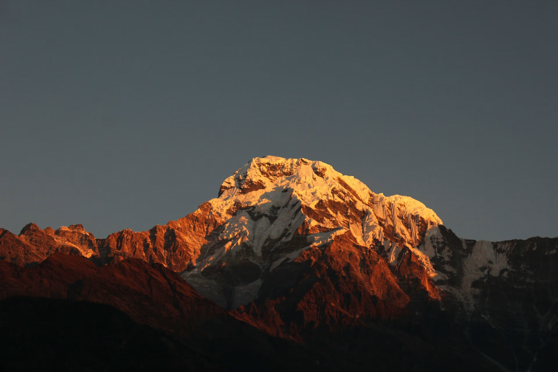
Nepal will offer several beginner-friendly summer treks that families can complete safely with proper pacing and preparation. The best options will combine lower altitude, reliable accommodation, manageable walking hours, and
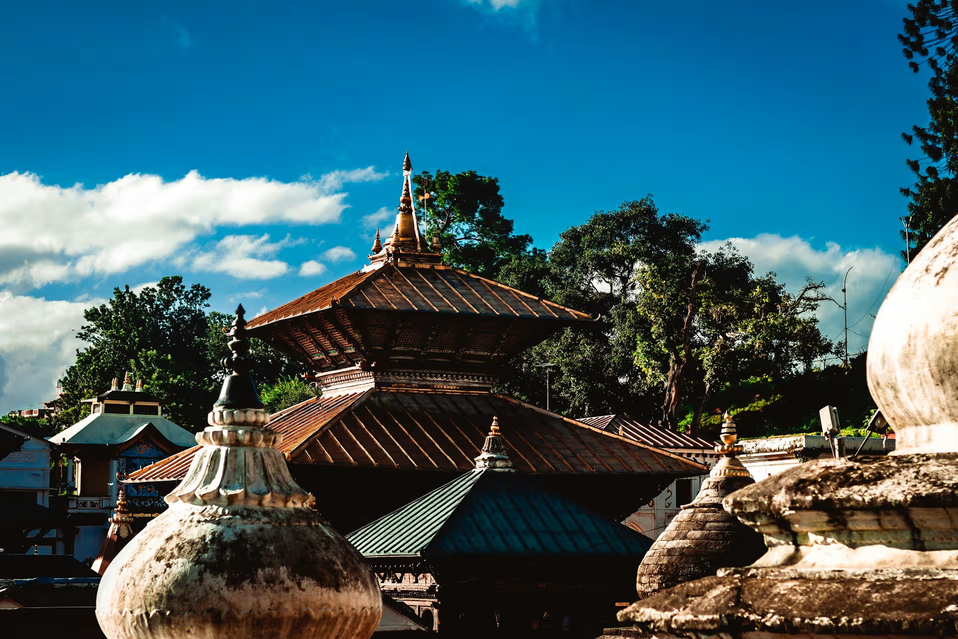
Pashupatinath Temple stands as Nepal’s most important Hindu temple dedicated to Lord Shiva and one of the most sacred pilgrimage sites in South Asia. Located on the banks of the
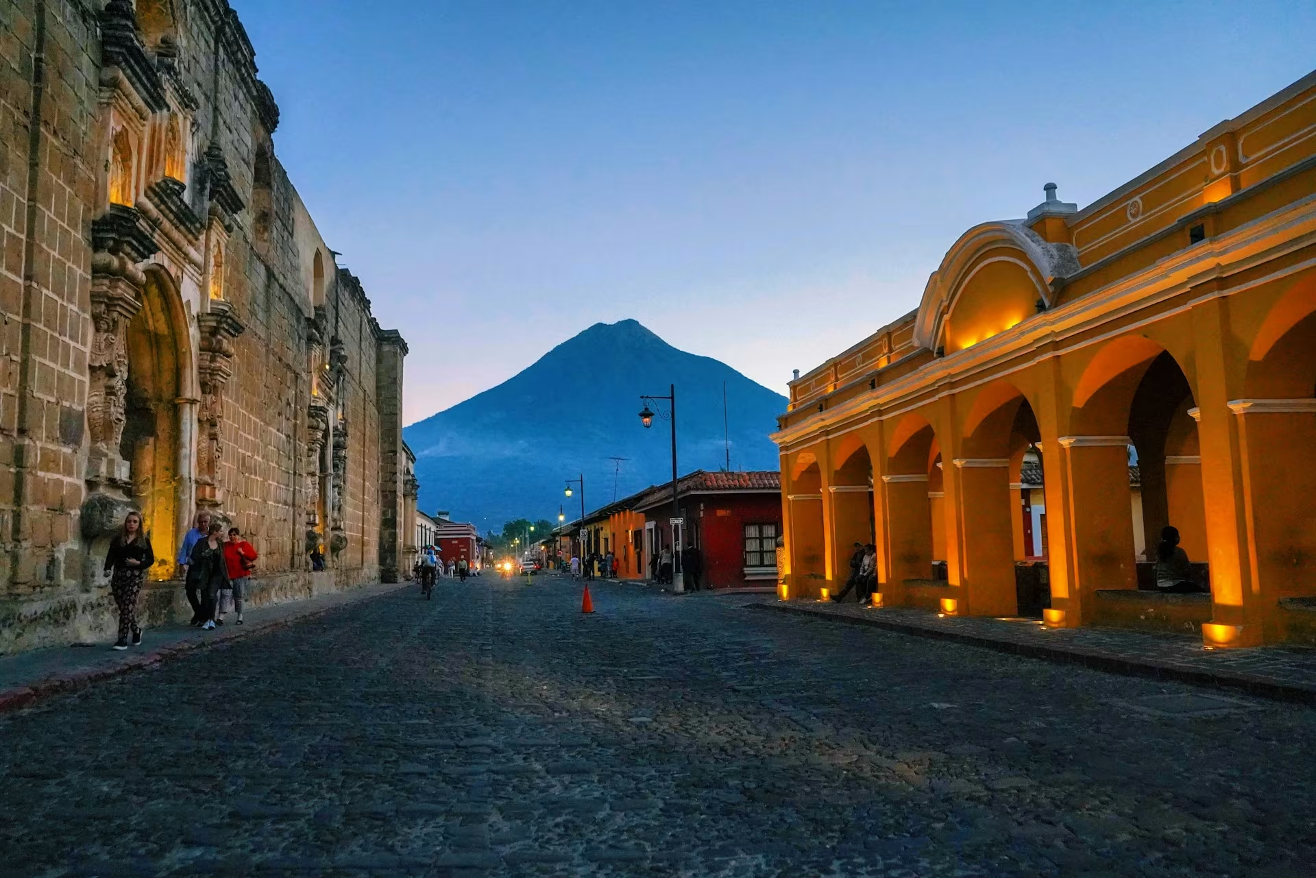
Known as the ‘Land of Eternal Spring,’ Guatemala is a haven for global travelers. However, it does not mean that the country has a Spring-like climate all round the year.
To provide the best experiences, we use technologies like cookies to store and/or access device information. Consenting to these technologies will allow us to process data such as browsing behavior or unique IDs on this site. Not consenting or withdrawing consent, may adversely affect certain features and functions.
Functional
Always active
The technical storage or access is strictly necessary for the legitimate purpose of enabling the use of a specific service explicitly requested by the subscriber or user, or for the sole purpose of carrying out the transmission of a communication over an electronic communications network.
Preferences
The technical storage or access is necessary for the legitimate purpose of storing preferences that are not requested by the subscriber or user.
Statistics
The technical storage or access that is used exclusively for statistical purposes.The technical storage or access that is used exclusively for anonymous statistical purposes. Without a subpoena, voluntary compliance on the part of your Internet Service Provider, or additional records from a third party, information stored or retrieved for this purpose alone cannot usually be used to identify you.
Marketing
The technical storage or access is required to create user profiles to send advertising, or to track the user on a website or across several websites for similar marketing purposes.